
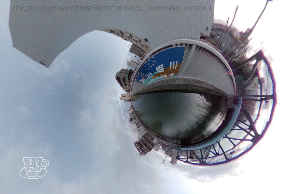
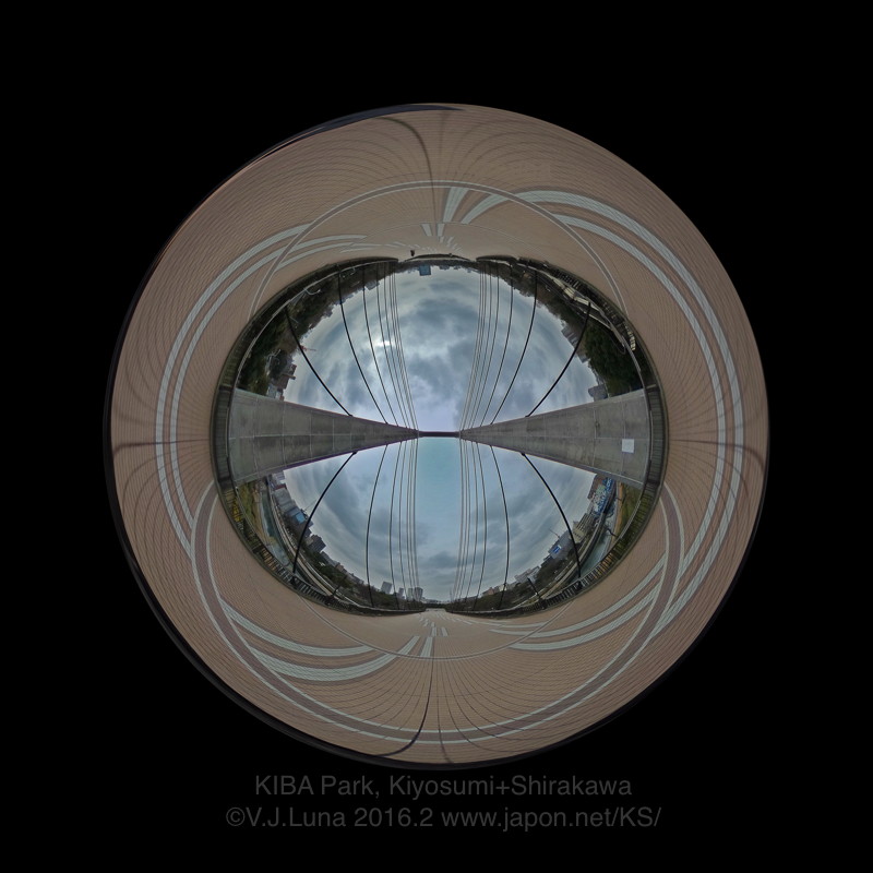
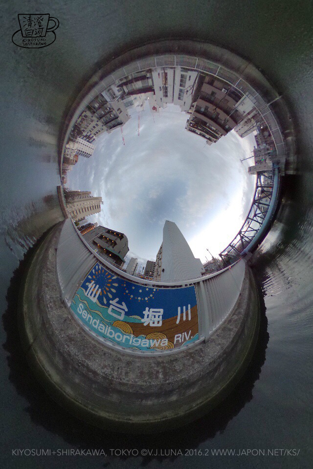
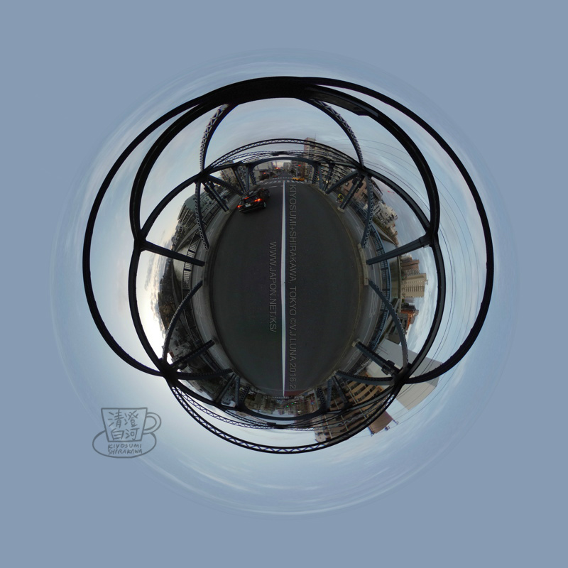
Kiba Park Bridge, Canal, Kamehisa Bridge
木場公園大橋、仙台堀川、亀久橋
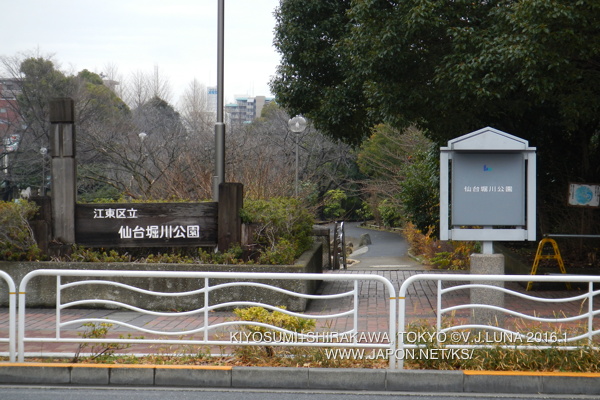
The Sendaiborigawa canal represents the traditional Southern limit of Kiyosumi-Shirakawa proper -the Fukagawa area being the notable exception.
Sendaiborigawa 仙台堀川 takes the name from the large property 下屋敷 that the Lord Date clan of Sendai 伊達藩 had during the Edo period at the mouth of this man-made river, by the Sumidagawa. This land is now the mostly industrial (for the time being) Kiyosumi 2&3.
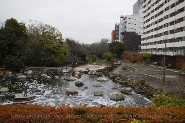
On that western side the river stops at water management facilities. On the eastern side it crosses Kiba park and turns into a canal park with limited flow and a nice jogging length of about 2.7 km, almost reaching the Arakawa river, then turning North for another kilometer or so.
Updated 2016.3